Great Cities
Civilization and advanced culture were abundant in North America in pre-Columbian times. This map depicts a selection of archaeological sites — often called mounds and earthworks — that exists in some form today on public and private land. The sites generally follow the great waterways throughout what is today the central and eastern U.S. and represent a mere fraction of what once existed. Because of intense modification of the landscape due to agriculture and westward expansion post-Columbus, nearly all sites were destroyed. It is generally believed that 5% or less remains today.
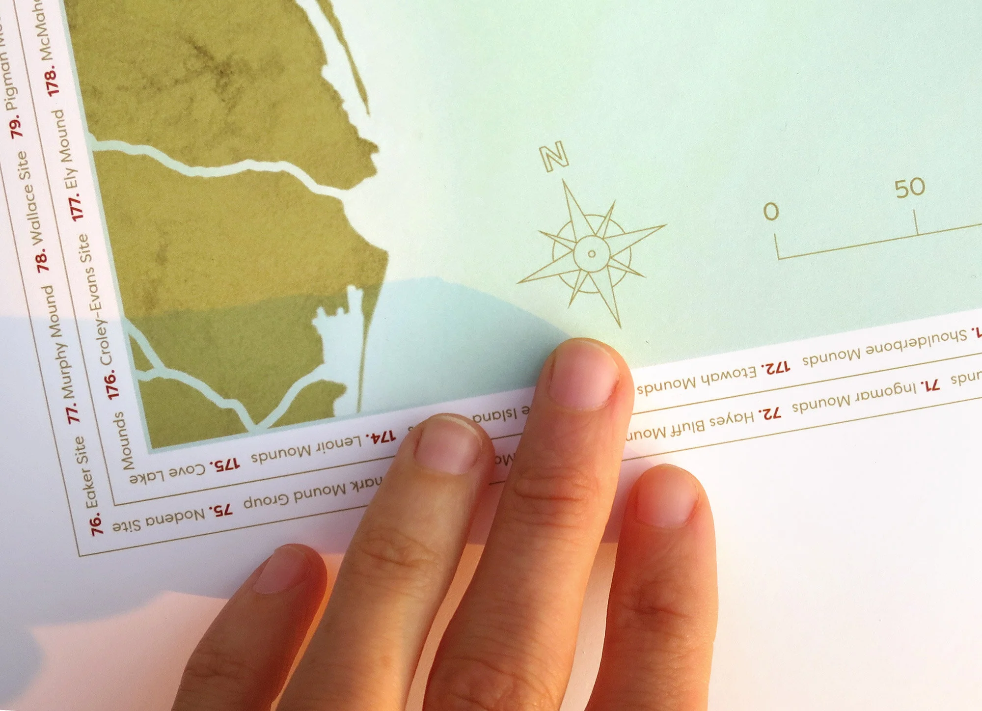
The map is designed to be placed in a glass frame so the owner can add to and edit it by hand over time as they continue their research.


24 x 36 fine art print.
Pencil, QGIS, Google Earth Pro, Illustrator, Photoshop. Collaboration with Kristi Pfeffer.
Data from USGS and The Illustrated Encyclopedia of Native American Indian Mounds and Earthworks by Gregory L. Little.
Sources: USGS and The Illustrated Encyclopedia of Native American Indian Mounds & Earthworks by Gregory L. Little.